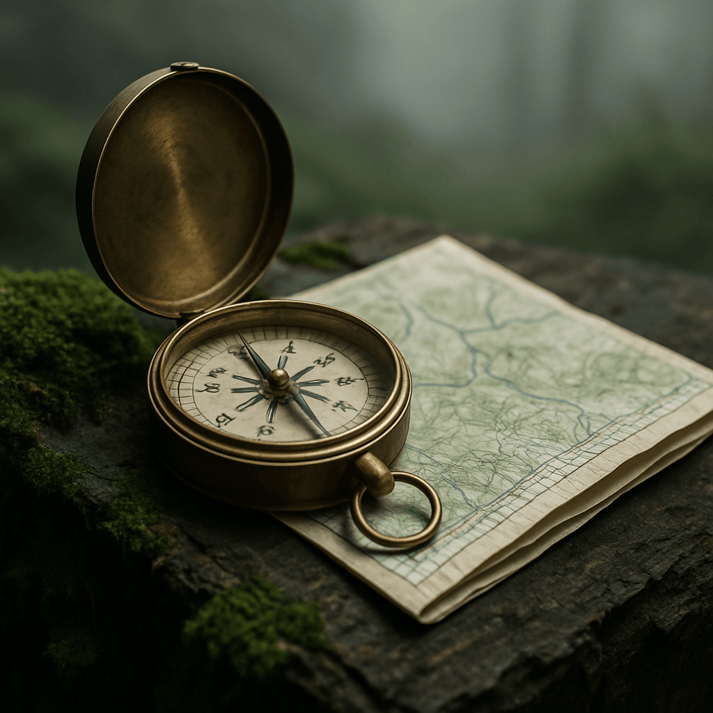
Lost in The Wilderness? Essential Map reading Skills
In an age dominated by GPS devices and smartphone apps, the fundamental skills of map reading and compass navigation might seem antiquated. However, relying solely on electronics in the wilderness can be dangerous gambling. Batteries die, signals drop, and devices can break. True outdoor enthusiasts and survivalists understand that mastering traditional navigation techniques is not just a valuable skill, it’s a critical lifeline. This guide will equip you with the foundational knowledge to read topographic maps, use a compass effectively, and combine these skills to stay oriented, find your way, and confidently explore the great outdoors, even when technology fails.
Why Traditional Navigation Still Matters
Imagine being deep in the back country, miles from the nearest road, when your phone battery dies or your GPS unit malfunctions. Without a map and compass, you could quickly become disoriented, turning an enjoyable outing into a perilous situation.
Traditional navigation skills provide:
Reliability: Maps and compasses don’t require batteries or satellite signals.
Situational Awareness: Understanding the terrain, elevation changes, and potential hazards in a way that a simple GPS dot on a screen cannot convey.
Self-Reliance: The confidence that comes from knowing you can navigate independently.
Enhanced Experience: A deeper appreciation for the landscape and your place within it.
Part 1: Mastering the Topographic Map
A topographic map is a two-dimensional representation of a three-dimensional landscape. It uses contour lines, colors, and symbols to depict elevation, terrain features, water bodies, and man-made structures.
Key Map Elements:
- Title and Scale: The title tells you what area the map covers. The scale (e.g., 1:24,000) indicates the ratio between a distance on the map and the corresponding distance on the ground. A larger second number means a smaller scale and covers a larger area with less detail.
- Legend/Key: Explains the meaning of all symbols and colors used on the map (e.g., roads, trails, buildings, water features).
- Contour Lines: These are the most important features for understanding terrain. They connect points of equal elevation. Key principles:
Closely spaced lines: Indicate steep terrain.
Widely spaced lines: Indicate gentle slopes.
V-shapes pointing uphill: Indicate valleys or drainages.
U-shapes pointing downhill: Indicate ridges or spurs.
Closed circles: Represent hilltops or depressions.
- Colors: Represent different features:
Brown: Contour lines.
Blue: Water features (rivers, lakes, swamps).
Green: Vegetation (forests).
Red: Major roads, populated areas.
Black: Man-made features (buildings, trails, roads).
- North Arrow/Declination Diagram: Shows true north, magnetic north, and grid north, along with the magnetic declination (the difference between true north and magnetic north) for the map area. This is crucial for accurate compass use.
Reading the Terrain:
Hills and Ridges: Look for concentric contour lines forming a peak or elongated shapes.
Valleys and Draws: Identified by V-shaped contour lines pointing uphill, indicating water flow.
Saddles: A dip or low point between two higher points, often appearing as an hourglass shape of contour lines.
Cliffs: Very closely spaced or merged contour lines.
Part 2: Understanding and Using Your Compass
A baseplate compass is the most common and versatile type for outdoor navigation. It consists of several key parts:
- Baseplate: The clear plastic plate with a ruler and direction of travel arrow.
- Housing/Azimuth Ring: The rotating dial marked with 360 degrees and cardinal directions (N, S, E, W).
- Magnetic Needle: The red end always points to magnetic north.
- Orienting Arrow and Lines: Fixed lines inside the housing that rotate with the azimuth ring.
Basic Compass Functions:
Orienting the Map: Aligning your map with true north. Place the compass on the map, align the orienting lines with the map’s north-south grid lines, and rotate the map and compass together until the magnetic needle aligns with the orienting arrow (after adjusting for declination).
Taking a Bearing (from the field to the map):
- Point the direction of travel arrow on your compass at a distant landmark.
- Rotate the azimuth ring until the orienting arrow aligns with the red (magnetic north) end of the magnetic needle.
- Read the bearing (degree) at the direction of travel arrow. This is the magnetic bearing to the landmark.
- Adjust for declination (add if declination is East, subtract if West) to get the true bearing.
- Place the compass on your map with the side edge touching your current location and the landmark. Rotate the entire compass until the orienting arrow aligns with true north on the map. Draw a line from your position through the landmark.
Following a Bearing (from the map to the field):
- Determine your desired direction of travel on the map. Place the compass on the map with the side edge aligned with your path and the direction of travel arrow pointing the way.
- Rotate the azimuth ring until the orienting arrow aligns with true north on the map.
- Adjust for declination (subtract if declination is East, add if West) to get the magnetic bearing.
- Hold the compass level in front of you, with the direction of travel arrow pointing away from you. Rotate your body until the red (magnetic north) end of the magnetic needle aligns with the orienting arrow.
- The direction of travel arrow now points to your destination. Pick a distant object in that direction and walk to it. Repeat the process.
- Recommendation: The SUUNTO MC-2 Compass is a professional-grade compass known for its accuracy, durability, and features like a global needle (works anywhere in the world) and adjustable declination, making it an excellent investment for serious navigators.
Part 3: Combining Map and Compass for Advanced
Navigation
Triangulation (Resection): Finding Your Position
If you’re lost or unsure of your exact location, triangulation allows you to pinpoint your position on a map using two or more known landmarks.
- Identify at least two (preferably three) distinct, identifiable landmarks on the ground that you can also locate on your map.
- Take a magnetic bearing to each landmark using your compass (field to map method).
- Convert each magnetic bearing to a true bearing by adjusting for declination.
- On your map, place the compass on each landmark. Rotate the compass until the orienting arrow aligns with true north on the map. Draw a line backwards from the landmark along the true bearing.
- Your position is where the lines intersection. If you use three landmarks, the lines should form a small triangle; your position is within that triangle.
Dead Reckoning: Estimating Your Position
This involves estimating your position based on your last known location, direction of travel, and distance covered. It’s less precise but useful for short distances or when visibility is poor.
Pacing: Calibrate your pace count (how many steps it takes to cover 100 meters/yards) to estimate distance.
Time: Estimate distance based on your average travel speed over time.
Terrain: Account for how terrain affects your speed and direction.
Practice, Practice, Practice and Practice!
Like any skill, navigation requires practice. Start in familiar areas with clear landmarks.
Practice orienting your map, taking and following bearings, and performing triangulation. The more you practice, the more intuitive these skills will become, building your confidence and ensuring you can navigate safely in any wilderness setting.
Essential Navigation Gear Checklist:
Topographic Maps: Up-to-date maps of your area of travel.
Baseplate Compass: A reliable, high-quality compass with adjustable declination.
Map Case/Waterproof Bag: To protect your maps from the elements.
Pencil and Paper: For notes and calculations.
GPS Device (optional, but recommended as a backup): If using, ensure you know how to use it in conjunction with your map and compass, and carry extra batteries.
Recommendation: The Garmin in Reach Mini 2 Satellite Communicator offers GPS navigation, two-way messaging, and SOS capabilities, providing a crucial electronic backup for communication and tracking when out of cell service.
Conclusion: Navigate with Confidence
Mastering map reading and compass skills is an empowering step for any outdoor enthusiast. It frees you from reliance on fragile technology and deepens your connection to the natural world. By understanding the language of the land as depicted on a topographic map and harnessing the reliable guidance of a compass, you’ll gain the confidence to explore further, knowing you can always find your way back. Invest the time in learning and practicing these timeless skills, and you’ll unlock a new level of self-reliance and adventure in the wilderness.
To Know more, please check: Navigation Survival Skills


